A Traverse City Wineries Map Built By Cluster, Not By Winery
Most winery maps of the Traverse City area are just pins scattered across two peninsulas. The honest geography is five clusters, one road spine, and a stretch of land that never gets more than three miles wide.
Short answer
Traverse City wine country sits on two peninsulas flanking Grand Traverse Bay: Old Mission, 19 miles long and never more than three miles wide, holds the trail's ten wineries; county-wide Leelanau holds 23 trail members. A fifth cluster, around Left Foot Charley, sits inside downtown Traverse City itself. Drive times run from zero minutes downtown to about 40 minutes at the far Leelanau end.
Where Are The Wineries Around Traverse City, Actually?
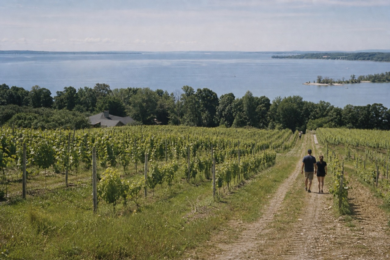
Traverse City wine country is not one district but five clusters spread across two peninsulas that flank Grand Traverse Bay, plus a small in-town cluster most visitors never hear about. Old Mission Peninsula runs 19 miles north up the east side of the bay and never gets more than three miles wide. Leelanau Peninsula fills the whole of Leelanau County on the west side, and its wine trail lists 23 member wineries scattered across it.
The two peninsulas are legally distinct wine regions, called American Viticultural Areas. Old Mission Peninsula was established on 8 June 1987 under 27 CFR 9.114, and its boundary is all of Peninsula Township in Grand Traverse County, excluding Marion and Bassett Islands, plus a small part of Traverse City Township, about 19,200 acres in total. Leelanau Peninsula was established on 30 March 1982 under 27 CFR 9.40, five years earlier, and its boundary is simply all of Leelanau County excluding the offshore islands. Together the two AVAs produce over 60 percent of Michigan's grapes, per Traverse City Tourism's own wine-country page.
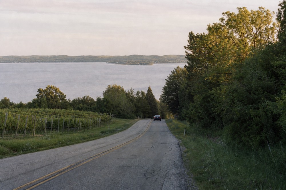
What a pin map hides is the shape. Old Mission is a finger of land, so narrow that every tasting room on it sits within a mile or two of water on both sides, and the whole thing is served by a single road, Center Road, which is M-37. Leelanau is a full county, so its wineries spread across three different loops and a drive between two of them can take half an hour. If you plan by cluster rather than by pin, the region shrinks from an overwhelming scatter into five manageable days, or five halves of days.
One counting trap deserves a warning before anything else. Black Star Farms appears on both trails, since it operates a Suttons Bay property on Leelanau and also pours at a location on Old Mission. Anyone adding the two trail counts together to get "wineries near Traverse City" will double-count it. For the deeper region-by-region comparison, our Old Mission versus Leelanau guide works through the differences in full.
What Are The Five Clusters On The Map?
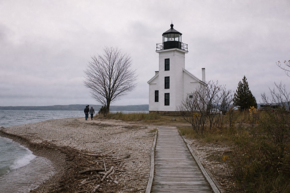
The five clusters are: downtown Traverse City around Left Foot Charley; lower Old Mission, the wineries nearest the base of the peninsula; upper Old Mission, the last stretch before the lighthouse; Suttons Bay and the eastern Leelanau shore; and the Leland end of Leelanau County in the northwest. Each has a different drive time, a different number of tasting rooms, and a different answer to whether you can reach it without a car.
Here is the whole map in one table, organized the way the geography actually works:
| Cluster | Drive time from downtown Traverse City | Rooms in the cluster | Works without a car? |
|---|---|---|---|
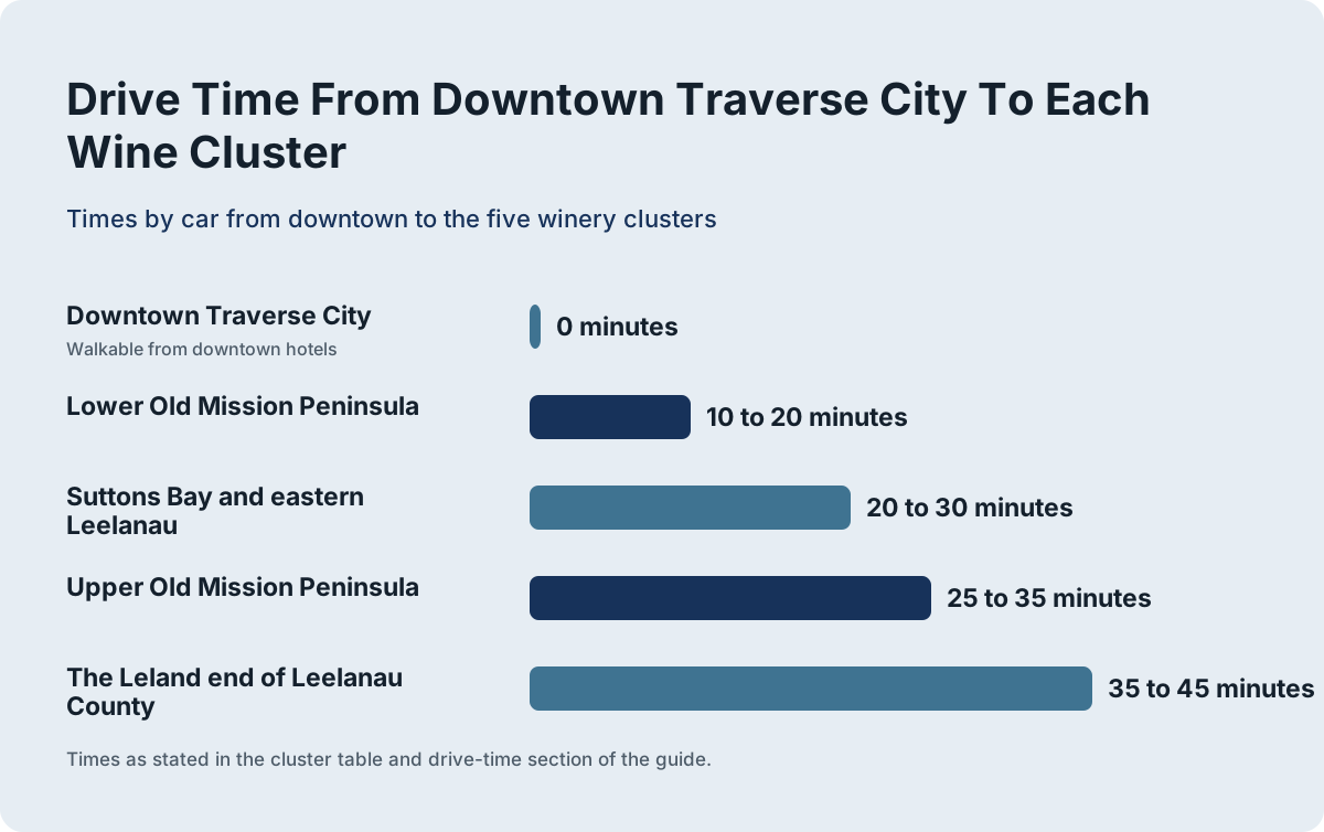
| Downtown Traverse City (Left Foot Charley and nearby rooms) | 0 minutes, walkable from downtown hotels | A small in-town cluster anchored by one urban winery | Yes, entirely |
| Lower Old Mission Peninsula | 10 to 20 minutes | The wineries nearest the peninsula's base | Partly, by tour or bike |
| Upper Old Mission Peninsula | 25 to 35 minutes | The northern wineries, ending near the lighthouse | Partly, by tour or bike |
| Suttons Bay and eastern Leelanau | 20 to 30 minutes | The Leelanau cluster closest to town | By tour only |
| The Leland end of Leelanau County | 35 to 45 minutes | The far northwest cluster, near Leland and Lake Michigan | By tour only |
The cluster logic matters because of scale. The Old Mission Peninsula Wine Trail's own trail map lists ten wineries, and the Leelanau Peninsula Wine Trail's homepage says "over 20 award winning wineries," with its member page listing 23. Published third-party counts disagree with both, running as high as 28 for Leelanau, because a trail membership count, a count of licensed producers, and a count of open tasting rooms are three different measures. Anchor on the trails' own numbers and treat any single grand total with suspicion.
The one cluster almost every visitor misses is the one with no driving at all. Left Foot Charley is an urban winery inside Traverse City, in the old village at the base of the Old Mission hills, pouring wines made largely from Leelanau and Old Mission fruit. It means the map starts at your hotel door, not at the city limits. Our peninsula wine trail guides cover the room-by-room detail for each region.
Why Is Nothing On This Map Walkable?
Because the wineries sit along 19 miles of peninsula road and across an entire county, with tasting rooms typically a mile or more apart and no sidewalks, no trail network, and no pedestrian infrastructure between them. Michigan's open-container law, MCL 257.624a, also bans open alcohol in the passenger area of a vehicle, with an exception only for passengers in a chartered vehicle authorized by the state transportation department, which shapes how touring here has to work.
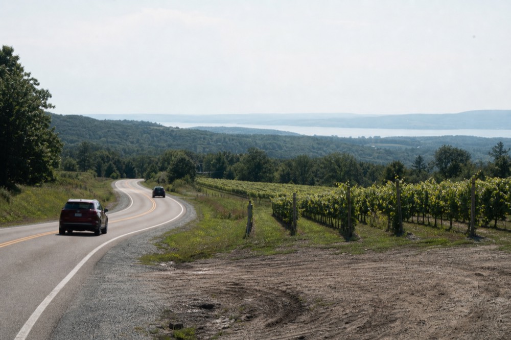
The distances are the first reason. On Old Mission, the wineries string north along Center Road in a line, and the gaps between them are country-road distances, measured in miles, not city blocks. On Leelanau, the clusters themselves are 15 to 30 minutes apart by car. There is no version of this region where you park once and stroll between rooms, the way you might in a walkable urban wine district.
The law is the second reason, and it is more interesting than most guides admit. MCL 257.624a bans transporting or possessing open alcohol in a vehicle's passenger area, a misdemeanour, and subsection (4) exempts only "a passenger in a chartered vehicle authorized to operate by the state transportation department." That single sentence is why the chartered shuttle and SUV operators can advertise drinking on board, and why a hired designated driver at the wheel of your own car cannot rely on the same exception. The legal geography of drinking and driving here splits neatly along the line between chartered vehicles and private ones.
The practical upshot for a map-reader: every plan for this region needs a driver, a bike, or a willingness to stay inside one cluster. The chartered-tour side of that split is covered in detail in our wine tour transport guide, including the fee-inclusion differences between the operators.
How Far Is Each Cluster From Downtown, Really?
From downtown Traverse City, the downtown cluster is a walk, lower Old Mission is 10 to 20 minutes by car, upper Old Mission is 25 to 35 minutes, Suttons Bay is 20 to 30 minutes, and the Leland end is 35 to 45 minutes. Those drive times are the single most useful numbers on the whole map, because they decide whether a second cluster fits in your afternoon.
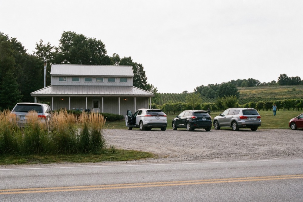
The peninsula's own dimensions set the ceiling on Old Mission. The 1987 federal regulation that created the AVA describes the boundary proceeding north 19 miles along the western shoreline to the lighthouse near Old Mission Point, and the peninsula is no more than three miles wide at any point. Nineteen miles up and three miles across means every Old Mission tasting room sits on, or just off, one road, and a full out-and-back run to the lighthouse end is roughly a 40-minute drive without stops.
Leelanau has no such ceiling, because the AVA is the whole county. Its wineries spread across three loops, and the drive between the Suttons Bay cluster and the Leland end is itself a scenic 20 to 30 minutes along M-22. A realistic Leelanau day covers one loop, not the county.
One road fact worth knowing: Center Road on Old Mission is a single spine with no alternate route. When a culvert collapsed on it near Council Oaks Drive in early July 2026, the road commission's temporary repair was the only fix available, because there is no second road. On the Leelanau side, the main artery out of Traverse City, the M-72 and M-22 stretch through Elmwood Township, finished a $25.8 million reconstruction with a ribbon-cutting in March 2026, so the work there is done, not ongoing.
Can You See This Map Without A Car?
Yes, three ways: a chartered shuttle or SUV tour, which covers either peninsula with appointments arranged ahead; a bike tour on Old Mission, which exists specifically because that peninsula is compact, low-traffic in places, and never more than three miles wide; and the downtown cluster, which needs no vehicle at all. Leelanau without a car realistically means a tour, since its clusters are too far apart for anything self-powered.
The bike option is not a gimmick; it is a direct consequence of the geography. Old Mission's narrowness means the distance from the peninsula's base to its tip is a single manageable ride, with water in view on both sides much of the way, and a support vehicle following means you are never stranded with a flat or a tired rider. It is the one part of this map where human power genuinely works.
For the shuttle side, the market splits into two formats with a real price difference hidden in the fee structure. The Magic Shuttle Bus runs shared scheduled tours where the fare covers transport only and tasting fees are paid at each winery, generally $5 to $10 per tasting on Old Mission and $5 to $15 on Leelanau. Movie Stars Wine Tours runs SUV and Escalade products where samples and a complimentary bottle are in the ticket, with flights and food extra. Bay Life Getaways offers a hired driver in your own car, where every pour is paid at the bar. That three-way split is laid out in full in our wine tour prices guide.
| Way to see the map | What it covers | What the fare covers | Best for |
|---|---|---|---|
| Shared shuttle tour | One peninsula per outing, 4 to 5 hours | Transport only, tastings paid at each winery | First-time visitors who want the whole loop |
| Semi-private SUV tour | One peninsula, smaller group | Samples plus a complimentary bottle | Groups who want fewer strangers |
| Bike tour with support vehicle | Old Mission specifically | The ride, with a vehicle behind you | Active travelers who like the peninsula's scale |
| Hired driver in your car | Any route you choose | The driver only, all pours paid separately | Parties who want total route control |
What Is The In-Town Cluster Most Visitors Miss?
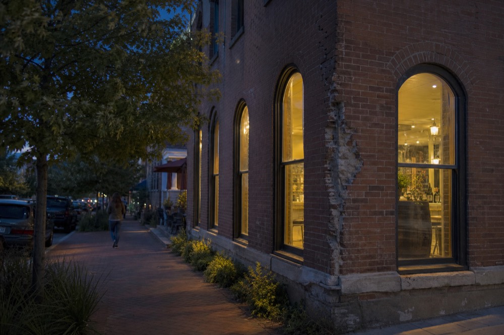
Left Foot Charley is an urban winery inside Traverse City itself, at the base of the Old Mission hills, pouring wines made largely from peninsula fruit, and it anchors a small downtown-adjacent cluster that requires no car, no tour, and no planning beyond a short walk or ride. It is the only part of the wine map that works on a layover evening or a day you have already given to the beach.
The reason this cluster exists is the reason the whole region exists: the fruit grows on the peninsulas, but the people are in town, and an urban winery shortens that distance. Left Foot Charley sits in the old village area, close enough to downtown that a hotel guest can reach it without a vehicle. A newer tour product on the roster builds an entire route around it, starting at Left Foot Charley and then crossing onto the Leelanau Peninsula for the rest of the run, from $199 per person. It is a recent listing, so no reviews have been published yet.
The in-town cluster also solves the arrival-day problem. Cherry Capital Airport handled 935,816 passengers in 2025, a third consecutive record year, and through July 2026 it had handled 534,370 more, still on record pace, per the Traverse City Record-Eagle and The Ticker. More arrivals means more visitors with a partial first day, and a tasting room you can walk to is the natural use for it. For where to sleep relative to the map, our best wineries guide and the best time for wine tasting guide pick up the scheduling side.
Which Roads Tie The Whole Map Together?
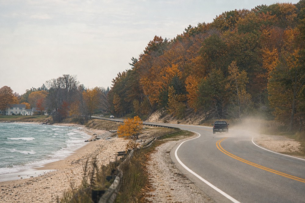
Three roads carry almost all wine-country driving: Center Road, which is M-37, running the 19-mile spine of Old Mission; M-22, the famous Lake Michigan highway that threads Leelanau County's western shore through Suttons Bay, Leland and Glen Arbor; and M-72, the east-west connector from Traverse City into Leelanau. Learn those three and the map stops being pins and becomes a shape.
Center Road is the simplest: one road, one direction, wineries along it, lighthouse at the end. M-22 is the opposite, a touring road in its own right that touches the Leelanau clusters one after another as it curves north. M-72 is the bridge between town and the Leelanau side, and its reconstructed Grandview Parkway stretch into Traverse City is now finished.
| Road | Which cluster it serves | Character | Watch for |
|---|---|---|---|
| Center Road (M-37) | All of Old Mission, lower to upper | A single 19-mile spine with no alternate route | No detour exists if it is blocked, so check conditions before committing |
| M-22 | Suttons Bay, the Leland end, and the Lake Michigan shore | A touring highway threading the Leelanau clusters in order | Weather closures happen; the road hugs open water in places |
| M-72 | The connector from downtown into Leelanau | The east-west link across the bay's south end | Reconstruction through Elmwood Township is finished, so it runs clear |
There is a legal wrinkle on the map worth knowing too, because it explains why Old Mission's wineries have been in the news. In July 2025 a federal judge awarded roughly $50 million to a coalition of eleven Old Mission wineries against Peninsula Township over zoning rules limiting events and on-site sales, per MLive's reporting. The judgment has not been paid: the case is on appeal and the court has stayed collection, with the most recent dated development in March 2026. It has not closed a single tasting room, but it is the live story behind the peninsula's event calendar. Mari Vineyards, meanwhile, is building an on-site bed and breakfast overlooking East Grand Traverse Bay, scheduled to open in late 2026.
How Do You Plan A Route Across The Whole Map?
Pick one cluster per half-day, pair clusters that share a road, and let drive times be the constraint: downtown plus lower Old Mission makes one easy day, upper Old Mission pairs with the lighthouse drive, and Suttons Bay plus the Leland end makes one Leelanau loop. Trying to cross between peninsulas mid-route wastes the afternoon, because the drive between the two wine countries runs back through town.
The pairing logic comes straight off the map. Old Mission is a line, so its lower and upper halves chain naturally. Leelanau's clusters chain along M-22 in order. The one thing that never chains well is Old Mission to Leelanau or back: the two peninsulas point in opposite directions from town, so a route touching both spends a half-hour re-crossing Traverse City in the middle. A self-guided day built on exactly this logic is laid out in our self-guided wine tour guide.
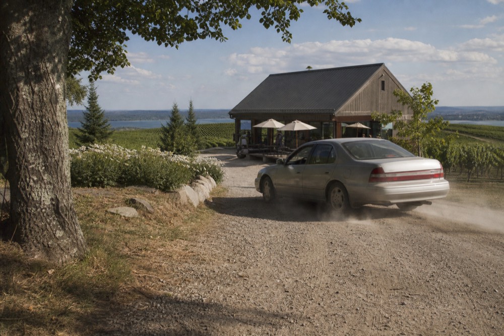
If you would rather not drive at all, the shared tours solve the routing for you. The Magic Shuttle Bus runs a five-hour, four-winery Old Mission loop from $79 per person, rated 4.9 across 2,666 reviews, with tasting fees of roughly $5 to $10 per stop paid at the bar. It is the closest thing to the whole Old Mission cluster in one ticket, and it pairs naturally with a Leelanau outing on a second day. Traverse City Wine Tours keeps the full roster of both peninsulas' tours in one place for exactly this kind of two-day planning.
| Day plan | Clusters covered | Total driving | Best format |
|---|---|---|---|
| Day 1 morning | Downtown plus lower Old Mission | Under 30 minutes | Bike or short drive |
| Day 1 afternoon | Upper Old Mission and the lighthouse drive | 40 to 60 minutes | Car or shared tour |
| Day 2 morning | Suttons Bay and eastern Leelanau | 30 to 45 minutes | Car or SUV tour |
| Day 2 afternoon | The Leland end of Leelanau | 40 to 60 minutes | Car or SUV tour |
The map questions readers ask most come down to counts, distances, walkability and the law: ten wineries on Old Mission, 23 trail members on Leelanau, drive times from zero minutes downtown to about 45 minutes at the far end, no walkable connections between peninsula rooms, and an open-container exemption that applies only to chartered vehicles. The answers below take each of those in turn, using the trails' own published figures rather than the looser third-party counts.
Common Questions About The Traverse City Wineries Map
How many wineries are near Traverse City?
The Old Mission Peninsula Wine Trail lists ten wineries on its own map, and the Leelanau Peninsula Wine Trail lists 23 members on its member page while describing itself as "over 20." Third-party counts run higher because they count every licensed producer or tasting room rather than trail membership, so treat any single grand total with caution, and remember Black Star Farms appears on both trails.
How far is Old Mission Peninsula from Traverse City?
The peninsula begins at the edge of town and runs 19 miles north to the lighthouse at Old Mission Point. The first wineries are 10 to 20 minutes from downtown, and the far end is 25 to 35 minutes, all along one road, Center Road, which is M-37.
Can you walk between Traverse City wineries?
Only in the downtown cluster around Left Foot Charley. On the peninsulas, tasting rooms sit a mile or more apart along country roads with no sidewalks, so every plan needs a car, a bike, or a tour.
Which peninsula is closer to downtown Traverse City?
Both start at the edge of town, but Old Mission is the more compact outing: 19 miles long, never more than three miles wide, one road. Leelanau is a whole county, so its clusters spread across three loops and take longer to cross.
Why does a bike tour exist on Old Mission but not Leelanau?
Because Old Mission's geography makes it possible: a single narrow peninsula with one road, water on both sides, and distances a rider can cover in a few hours with a support vehicle along. Leelanau's clusters are too far apart for the same format.
Can you drink on a wine tour vehicle in Michigan?
Yes, in a chartered vehicle authorized by the state transportation department, which Michigan's open-container law exempts in MCL 257.624a(4). The exemption does not extend to a hired driver at the wheel of your own car, where the open-container ban still applies to the passenger area.